Precipitation forecasts on Prog charts end at state lines due to the organization and coordination of weather forecast offices (WFOs) and their respective county warning areas (CWAs). CWAs often follow geopolitical boundaries, such as state lines, which can influence the appearance of forecast areas.
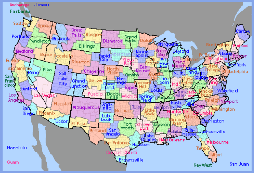
CWA Map
Key Reasons
-
CWA Organization and Coordination: Each WFO is responsible for forecasting within its CWA, which may or may not cross state boundaries. Forecasters attempt to coordinate with neighboring WFOs to create seamless forecasts, but coordination is not always successful, leading to forecasts that appear to stop at state lines.
-
AIRMET/G-AIRMET Issuance: At the Aviation Weather Center (AWC), different forecasters handle different regions of the country (Eastern, Central, Western). While forecasters sit next to each other and may coordinate, this does not always occur, leading to forecasts, like G-AIRMETs, that are bounded by state lines or other geopolitical borders.
Below is an example of a Turb-Hi G-AIRMET where a lack of cross-region coordination caused the forecast to stop at state borders.
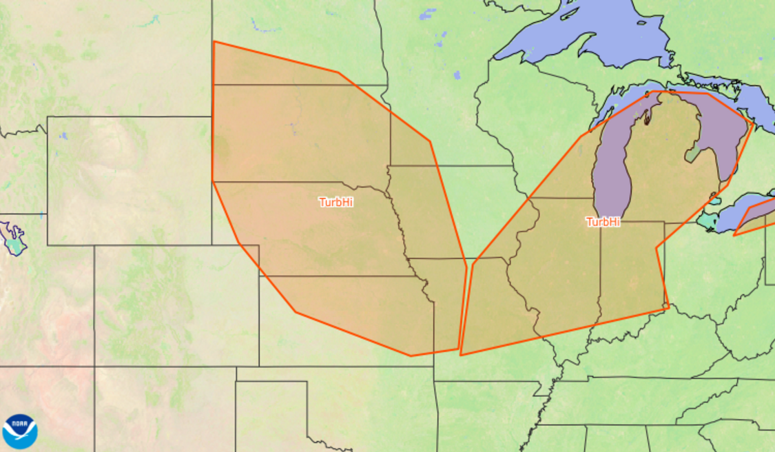
Turb-Hi G-AIRMET ending at geopolitical border.
Last Updated: